🔄 Updated 21 Jun 2026
Hat Yai isn't all buildings and markets — the city is ringed by low hills with waterfalls and forest parks that locals drive out to on their days off. The two that make the most sense if you only have half a day are Ton Nga Chang Waterfall to the west of town, and Khao Kho Hong, which sits inside the Hat Yai municipal park right next to the city. So we've bundled both into one plan, then split it so you can choose based on the time you have.
The Overview Before You Set Off
- Ton Nga Chang Waterfall — about 26 km from central Hat Yai, a 30–45 min drive. It's a 7-tier waterfall inside a wildlife sanctuary, and the lower tiers are an easy walk.
- Khao Kho Hong / Hat Yai Park — right next to the city. Drive up the hill or take the cable car. There's a viewpoint looking out over Hat Yai and Songkhla Lake, plus the shrines at the top.
- Total trip time — half a day is just right, roughly 4–5 hours if you take it easy, with some buffer for a meal along the way.
Match the Plan to Your Schedule
If you can get up early, go with the morning version (waterfall first, then up Khao Kho Hong later in the morning) — the waterfall is cooler and quieter early on. If you're more of a late riser or want to catch the sunset, flip it to the afternoon version and head up Khao Kho Hong in the evening to watch the city light up.
Book the activities in your Hat Yai trip ahead
Booking online ahead on Klook or GetYourGuide is usually cheaper than the gate and skips the queue. Pick only the experiences you actually want — prices and availability are shown live on each site.
Plan A · Morning (Waterfall First, Hill Later)
Good if you want a swim or an easy forest walk while it's still cool, then head back into town and up Khao Kho Hong mid-morning, catching the city view before the sun gets too harsh.
Ton Nga Chang Waterfall → Khao Kho Hong
Plan B · Afternoon–Evening (Catch the Sunset on the Hill)
If you'd rather sleep in, just swap the order: head out in the afternoon to the waterfall once the sun has softened, then finish up on Khao Kho Hong in the evening to watch the city turn to lights. Sunset on the summit is when locals like to head up and sit around.
Afternoon Waterfall → Evening City View
Ton Nga Chang Waterfall — Know Before You Go
Ton Nga Chang sits inside the Ton Nga Chang Wildlife Sanctuary, off the old Hat Yai–Rattaphum road, about 26 km from town. The waterfall itself has 7 tiers, and the name "Nga Chang" (elephant tusk) comes from the way the water splits into two streams resembling tusks at its prettiest tier. The lower tiers are an easy walk and fine for families, while the upper ones get progressively steeper and take a bit of preparation.
- Getting there — driving yourself is easiest. Follow Phetkasem Road on the Hat Yai–Rattaphum route to around the 13 km mark at Ban Hu Rae, where a turnoff leads another 13 km or so to the waterfall.
- Entry fee — around 20 THB for Thais, 200 THB for foreigners, and 30 THB per car (prices can change, so bring cash).
- Opening hours — opens around 09:00. Call ahead to check the closing time, as it sometimes shuts in the afternoon. Tel. 074-390004.
- What to bring — grippy shoes, clothes you don't mind getting wet, drinking water, and mosquito repellent. The rocks by the water are slippery, so take care.
When the Water Looks Best
Southern waterfalls run strongest and clearest at the end of the rainy season (around November–December). In the dry season the flow drops, but it's still swimmable and the paths are less slippery. If there was heavy rain the day before, watch for flash floods and pay attention to any warnings from the rangers.
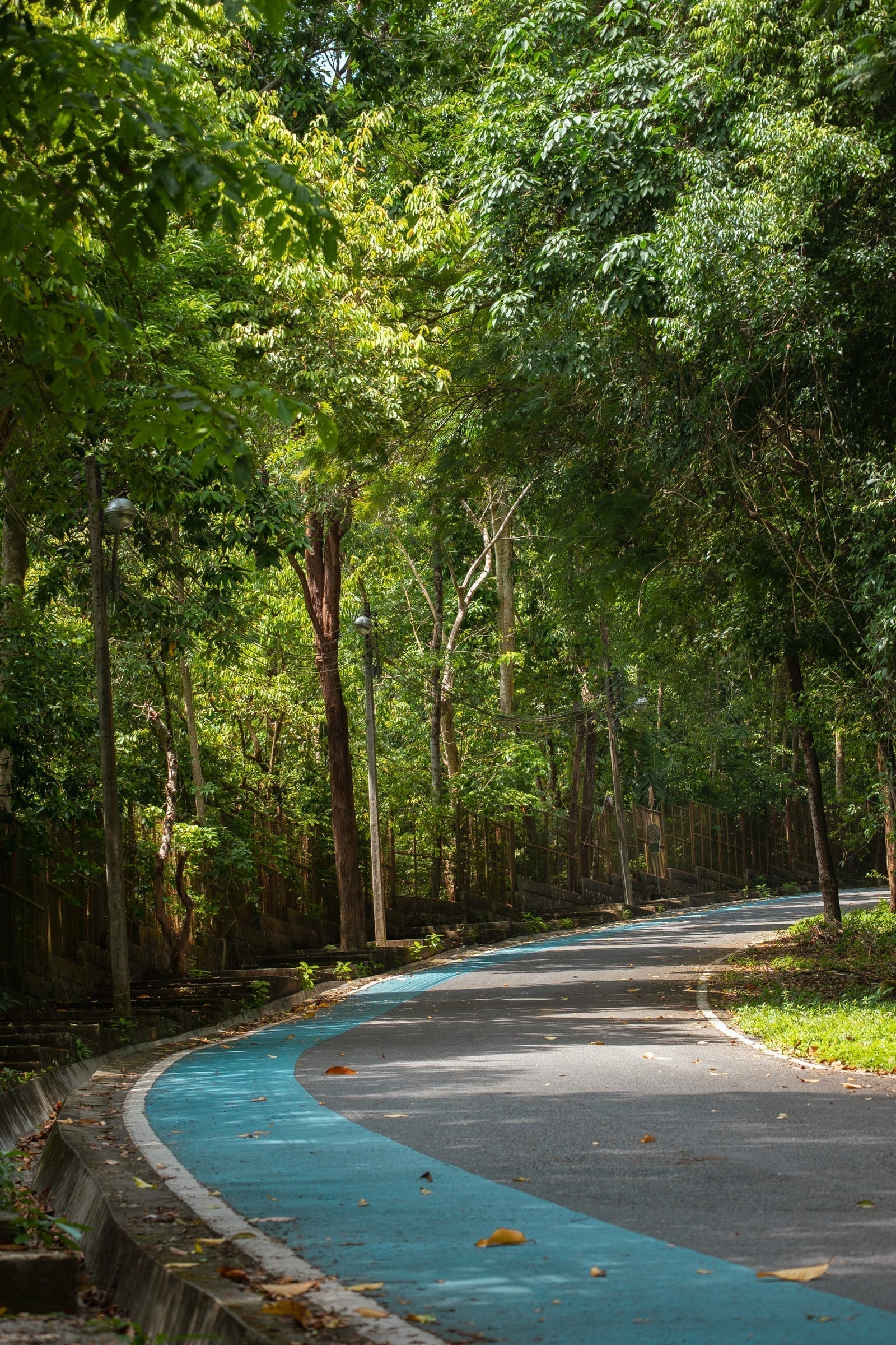
Khao Kho Hong & Hat Yai Park — Know Before You Go
Khao Kho Hong sits inside the Hat Yai municipal park, right next to the city, covering around 900 rai. It has two peaks; the Kho Hong summit, about 375 meters high, is the viewpoint with a wide outlook over Hat Yai and Songkhla Lake. At the top there are three shrines that people go up to pay respects at: the Phra Buddha Mongkol Maharaj statue, Guanyin, and the Brahma shrine. Park entry is free, and it's open from morning until evening.
Drive or Ride Up Yourself
You can head straight up — about 10 minutes to the summit, with parking near the shrines. It's cheap and flexible on timing, though buses can't make the climb.
Hat Yai Cable Car
Thailand's first cable car, 525 meters long, seating 8 per cabin, with elevated views along the way. Open Tuesday–Sunday, closed Monday.
- Cable car fare — 100 THB for Thais, 50 THB for children/students, 200 THB for foreigners.
- Cable car hours — Tuesday–Sunday (closed Monday), from around 09:00 onward. Check the last run before you go.
- The park — free entry, open morning to evening, good for a run or just sitting around in the evening.
- Dress — there are shrines for prayer, so dress reasonably modestly.
What to Eat Along the Way
The road into the waterfall has some pleasant streamside restaurants worth stopping at — mostly Thai and Southern places where you sit and eat by the cool water.
- Wang Rom Mueang — a streamside restaurant on the way to the waterfall, shady and cool, good for lunch.
- Baan Suan Ta Chuen Camping — before you reach the waterfall, on the right-hand side, open around 10:00–18:00. A relaxed spot to sit.
- Ton Nam Ton Nga Chang — another option near the waterfall to stop for a meal.
Want a Full Day in Nature
If you've got a whole day, you can extend this half-day plan with a trip across to Songkhla Old Town and Samila Beach. It's only about a 30–40 min drive from Hat Yai to Songkhla, so you get a waterfall, a hill, and the sea all in one day.
Plan a full Hat Yai trip from start to finish
See the Hat Yai travel guide →