🔄 Updated 21 Jun 2026
First, it helps to be clear that Khao Yai, as travelers use the name, has two parts: Khao Yai National Park (the actual forest, waterfalls, and viewpoints) and the Khao Yai–Pak Chong area of vineyards, sheep farms, cafes, and accommodation, most of which sits outside the park boundary, lined up along Thanarat Road. Getting around these two zones works differently, so plan your transport to cover both.
Self-driving from Bangkok — which route is fastest
Self-driving is the easiest way to do Khao Yai, because the sights are far apart and public transport doesn't reach many of them. The main route from Bangkok is to head out on Phahonyothin Road through Rangsit–Saraburi, then join Mittraphap Road (Highway 2) toward Pak Chong. Just before the town center you'll hit the turnoff onto Thanarat Road (Highway 2090), the main road that takes you up into Khao Yai.
- The motorway (M6 Bang Pa-in–Korat) — fastest and smoothest right now. Exit at Pak Chong, then continue onto Thanarat Road; figure roughly 2–2.5 hours if traffic is light.
- The regular Mittraphap route (Highway 2) — through Saraburi into Pak Chong, about 200 km. This is the classic route, with no motorway toll to pay.
- The Noen Hom route (via Nakhon Nayok, Highway 33) — enters Khao Yai through the Noen Hom checkpoint on the Prachinburi side, a bit shorter at around 190 km, but the climb is steeper. Better used on the way down than the way up.
Traffic on long weekends is real
Over New Year, Songkran, and the cool-season long weekends, Mittraphap Road between Saraburi and Pak Chong and the climb up into Khao Yai jam up for ages — it's normal. Leaving before dawn or avoiding the peak days makes it much easier. The good places to stay also tend to sell out weeks ahead, so book early.
Vans and buses to Pak Chong — for those without a car
If you don't have your own car, the first target is Pak Chong town, and from there you sort out how to reach your accommodation or the sights. There are several public-transport options from Bangkok to Pak Chong, mostly leaving from Mo Chit 2 bus terminal.
- Van, Mo Chit 2 → Pak Chong — operators like Jamnong Tour run frequently, fares around 160 THB, roughly 2 hours, dropping you in Pak Chong town.
- Bangkok–Korat coaches (Nakhonchai Air and others) — tell the driver you're getting off at Pak Chong. They run often from morning to evening and are more comfortable than the vans, a good pick for the longer haul.
- Northeastern train line, Bangkok–Pak Chong — several services a day, with pretty scenery on the climb, taking about 3–4 hours depending on the service. Get off at Pak Chong station and continue into town.
Once you're in Pak Chong, what next
From Pak Chong market there are songthaews (shared pickup trucks) heading toward the park, running roughly 06:00–17:00 about every half hour, with fares in the tens of baht. But they only take you as far as the checkpoint or points along Thanarat Road — they don't go deep into the forest. If you plan to explore the park seriously, line up a plan for onward transport too.
Renting in Pak Chong — how necessary is it
If you've come by public transport but want to roam freely, renting in Pak Chong helps a lot, because the sights — vineyards, sheep farms, cafes, and accommodation — are scattered kilometers apart. Taxis and motorbike taxis are hard to flag down and the fares add up to more than renting for the whole day.
Car rental
There are car-rental services in Pak Chong town and near the train station, good if you're a group or traveling with older relatives or kids — you can drive up into the park with ease. Book ahead on long weekends.
Motorbike rental
Rental shops near Pak Chong train station start around 300 THB/day, nimble for hopping between cafes and vineyards around Pak Chong. But the climb into the park gets slippery in the rainy season, so take extra care.
Check before you rent
Ask to see the insurance, check the tires and brakes before you take the vehicle, photograph any existing scratches, and carry your real driver's license. The park has steep stretches and plenty of bends — a vehicle in good shape with solid brakes matters more than you'd think.
Distances to the sights along Thanarat Road
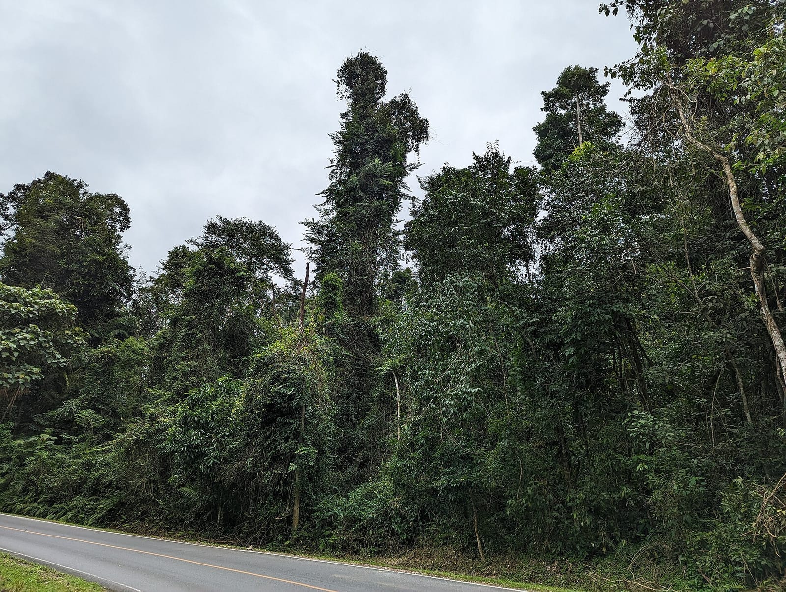
Thanarat Road (Highway 2090) is the main artery of Khao Yai on the Pak Chong side. Measured from the turnoff on Mittraphap Road to the park entrance, it runs about 20–25 km, with the most popular sights strung along both sides — the deeper you go, the higher the kilometer markers climb. Here's the rough order, which helps you plan a route without doubling back.
Farm Chokchai
A large dairy farm near the start of Thanarat Road, with a cowboy show and farm activities — a good first stop before heading up the mountain.
Primo Piazza
An Italian-style village with sheep, miniature horses, and alpacas, photogenic and sitting around the middle of Thanarat Road — usually paired with Palio nearby.
Palio Khao Yai
An Italian-themed community mall with restaurants, cafes, and souvenirs, close to Primo Piazza — easy to wander around and take photos.
Vineyards and wineries
A cluster of vineyards in the Khao Yai area, with vineyard tours, wine tasting, and restaurants overlooking the rows. They're spread along the mid-to-late stretch of Thanarat Road and the side lanes.
Mountain-view cafes
Cafes and restaurants with mountain views line the whole road, and the closer you get to the park entrance the greener it gets — stop wherever you like along the way.
Chao Pho checkpoint (entrance to the park)
The park entrance fee checkpoint on the Pak Chong side, at the very end of Thanarat Road. From here it's forest road that winds up the mountain for many more dozens of kilometers.
Order your route well to save time
Because the sights line up along a single road, we suggest working from the start (farm–Italian village) and heading up to the park afterward — or the reverse, going up to the park in the morning when the weather's good and the animals are out, then coming down for cafes and vineyards in the afternoon. Either way you won't waste time driving back and forth.
Transport inside the park and entry fees — what to know before you go up
Inside Khao Yai National Park there's no public transport that covers the area properly. The main way is to drive your own car or a rental in yourself. The forest roads wind up the mountain, and the distance from the checkpoint to the major sights and through to the far side totals around 50 km. Waterfalls and viewpoints are scattered, so you'll drive several more kilometers on from the visitor center.
- Park entry (Thai nationals) — adults 40 THB, children 20 THB; seniors 60 and over and people with disabilities enter free.
- Park entry (foreigners) — adults 400 THB, children 200 THB, at the Pak Chong and Noen Hom checkpoints.
- Vehicle fee — 30 THB for a four-wheeled car, 20 THB for a motorbike (charged separately from the per-person fee).
- Opening hours — checkpoints open roughly 06:00–18:00; one ticket lets you enter and exit within the same day.
Drive slow, watch for wildlife crossing
The park has elephants, deer, and monkeys that can cross the road at any time, especially before dawn and at dusk. Drive slowly, don't honk to shoo them or feed the animals, and if you meet an elephant, stop and wait at a distance — don't try to speed past. The forest roads have lots of bends and some steep sections, so keeping your speed in check is the safest bet.
Another thing we'll be honest about: after rain the waterfall trails and rocks get very slippery. Falls like Haew Suwat and Haew Narok are at their most beautiful in the rainy season, but that's also when they're most dangerous. Wear shoes with good grip, stay on the marked trails, and never go in to swim near the lip of a waterfall.
Three travel plans by style
Own car — most freedom
No car + rent in Pak Chong
No car + no rental — rely on tours/your hotel
Plan your whole Khao Yai trip — where to stay, eat, and go
See the Khao Yai travel guide →