🔄 Updated 21 Jun 2026
Before you plan, it helps to know the big picture: Phatthalung has no airport of its own, but it has one big advantage — the southern railway line runs right through the centre of town, with Phatthalung station sitting in the middle of the city, so it's an easy hop to your hotel. If you'd rather fly, the nearest airports are Hat Yai (about 95–100 km away) and Trang (about 57–60 km), and from either it's just over an hour's drive into Phatthalung. So there are three main ways in: the southern-line train, a bus from Bangkok, or flying into Hat Yai or Trang and driving the rest. Once you reach town, you sort out local transport for getting around the province.
By southern-line train, straight into the town centre
The train is many people's favourite way to reach Phatthalung, because Phatthalung station sits right in the centre of town — you step off and walk or grab a ride to your hotel, with none of the long haul in from the outskirts you get in a lot of provinces. Trains run on the southern line from Krung Thep Aphiwat Central Terminal (Bang Sue), heading south through Chumphon, Surat Thani and Nakhon Si Thammarat before reaching Phatthalung, then carrying on to Hat Yai. The trains that pass through Phatthalung are the long-distance services down to Yala, Sungai Kolok and Hat Yai, with several to choose from each day.
- Train types — There are both special express trains (the long Bangkok–Sungai Kolok/Yala runs) and rapid trains. The newer special express stock (Uttarawithi) is far more comfortable, in both seated and sleeper carriages.
- Travel time — Bangkok to Phatthalung is about 13–16 hours depending on the train; the newer special express is faster than an ordinary rapid train. Most people take an overnight service, sleeping through and arriving in the early morning.
- Rough prices — Third-class seats start around ฿200–300, second-class air-conditioned seats run about ฿500–700, and a second-class air-conditioned sleeper berth around ฿800–1,100 depending on the train and whether it's an upper or lower bunk.
- Booking — Book ahead online through the State Railway's dticket.railway.co.th, or buy at the station. Sleeper berths sell out fast over festival periods, so book several days ahead.
Why the train suits Phatthalung so well
Phatthalung's real edge is that the station is right in the centre of town — unlike many provinces where you step off and still face a long ride into the city. If you take an overnight sleeper from Bangkok, you get a long night's sleep and wake up in Phatthalung in the morning; step off the train and you can walk straight across to the morning market or your hotel. That saves you a night's accommodation and gives you a full first day to explore.
By bus from Bangkok (New Southern Terminal)
The bus is another option a lot of people use. Buses leave from the New Southern Bus Terminal (Borommaratchachonnani Road / Taling Chan) in Bangkok and arrive at the Phatthalung Bus Terminal in town. Bangkok to Phatthalung is roughly 840 km and takes about 11–13 hours depending on stops and traffic. Most departures are in the evening, so you can sleep through and arrive in the morning.
- Main operators — Piya Rungrueang Tour and the state-run Transport Co. (999) are the main names on the Bangkok–Phatthalung route. Some Bangkok–Trang/Satun services pass through Phatthalung too.
- Rough prices — Piya Rungrueang Tour's first-class (Por 1) air-conditioned coach is around ฿785, while a 32-seat VIP coach is about ฿823; prices shift with the class and over festival periods.
- Departure times — Most run from late afternoon into the evening, leaving the New Southern Terminal around 16:00–19:00, travelling overnight to reach Phatthalung in the morning.
- Booking — Book online through busticket.in.th (Transport Co. 999), the Piya Rungrueang Tour site, busx, busandvan or 12go, or just buy at the counter at the New Southern Terminal. Book ahead over festival periods.
Train or bus — which to pick?
Side by side, the sleeper train is more comfortable and drops you right in the centre of town, so it suits anyone who wants a long overnight sleep — but sleeper tickets sell out fast and need booking ahead. Buses run more often, are easier to book, and sometimes get in a touch faster. If you can't get a train ticket in time, or you'd rather leave in the evening, a bus from the New Southern Terminal is a solid backup.
Fly into Hat Yai or Trang, then drive into Phatthalung
Because Phatthalung has no airport, people who want to fly usually land at one of two places: Hat Yai Airport (HDY), which has the most flights in the lower south, or Trang Airport (TST), which is closer to Phatthalung. Both have several flights a day from Don Mueang and Suvarnabhumi at usually affordable fares, and from either it's just over an hour's drive into Phatthalung. This option suits anyone who'd rather not sit on a long overnight train or bus.
- Fly into Hat Yai — The most frequent flights, with plenty of choice: Thai AirAsia, Thai Lion Air, Nok Air and Thai Vietjet. From Hat Yai it's about 95–100 km into Phatthalung, around 1.5 hours.
- Fly into Trang — Closer to Phatthalung, about 57–60 km and around an hour's drive into town. Fewer flights than Hat Yai, but fares are sometimes cheap.
- Onward transport to Phatthalung — Vans and buses run the Hat Yai–Phatthalung and Trang–Phatthalung routes all day, fares around ฿80–150, or you can rent a car at the airport and drive in yourself.
- Why Hat Yai can be the better choice — More flights and a flexible schedule, and you can tack on Hat Yai and Songkhla in the same trip, since they're on the same side as Phatthalung.
Hat Yai or Trang — which to land at?
If you're only here for Phatthalung and want to arrive quickly, Trang is closer — just an hour's drive in. But if you want cheaper flights with more departures, or you'd like to swing by Hat Yai and Songkhla too, Hat Yai is more flexible. Check the van times into Phatthalung carefully if your flight lands in the evening, since the last service usually isn't very late.
Renting a car — the easiest way around Phatthalung
Many of Phatthalung's sights are out of town and not well served by public transport — places like Thale Noi, Khao Pu–Khao Ya, the Ekkachai Bridge and the rice fields over on the Khuan Khanun side. So renting and driving yourself works best if you want to hit several spots in one trip. There are a number of local rental shops in the town of Phatthalung, and if you're flying into Hat Yai or Trang it's convenient to rent a car at the airport from the start and drive in, since the airports have more of the bigger brands to choose from.
- Rental prices in Phatthalung town — Local sedans start around ฿800–1,200 per day, and vans with a driver from about ฿1,800 per day. Always check the insurance and fuel terms before you book.
- Renting at Hat Yai/Trang airport — If you want first-class insurance and a newer car, booking through Drivehub or a major brand at the airport gives you more options: small sedans around ฿800–1,100 per day, SUVs/pickups around ฿1,200–1,800 per day.
- Documents — You'll need a driving licence and your ID card/passport, and always photograph the car all the way around before you take it.
- Driving in the province — The town of Phatthalung is small, traffic-free and easy to park in, and the roads out to the other districts are well-kept highways (Highway 41 is the backbone running through the middle, Highways 4047/4048 head out to the lake side), so the driving is easy. The roads toward Thale Noi and Khao Pu–Khao Ya wind a little but aren't difficult.
Getting around in town without a car
If you're only seeing sights in town — the Phatthalung Governor's Residence (Wang Chao Mueang), the morning market, the old quarter and the in-town temples — you don't really need a car, since they're all close together and you can walk or take a songthaew or a motorcycle taxi. But for Thale Noi or Khao Pu–Khao Ya, public transport isn't very convenient, so you're better off renting or chartering a car instead.
- Songthaews — These run around town and out to nearby districts like Khuan Khanun; in-town fares are in the low tens of baht, but always ask the price before you get on.
- Motorcycle taxis — Found at junctions and outside the markets in town; good for short hops within the city.
- Motorbike rental — Shops rent them out for around ฿250–350 a day, ideal for solo travellers or couples heading to Lampam Beach or around town. But for Thale Noi or Khao Pu–Khao Ya farther out, a car is the better call.
- Ride-hailing apps / chartered cars — In Phatthalung the ride-hailing apps aren't as dense as in big cities, so during quiet hours you may wait a while. Many people instead charter a car with a driver for a half-day to Thale Noi, which is more convenient.
How to reach Thale Noi, Khao Pu–Khao Ya and Lampam Beach
These three are the sights people ask about most in Phatthalung, and they sit in different directions, so plan your route well to avoid driving in circles. Lampam Beach is closest to town, out to the east; Thale Noi and the Ekkachai Bridge are to the north on the Khuan Khanun side; and Khao Pu–Khao Ya is to the north-west, up against the hills.
Lampam Beach (Hat Saen Suk Lampam)
The lakeside beach on Songkhla Lake closest to town, with waterfront restaurants and breezy seating — a good spot for an evening meal or to watch the light fade. Drive out east of town along Highway 4047, past Wat Wang.
Phatthalung Governor's Residence (Wang Chao Mueang)
The old teak governor's house in town, where you can wander through the architecture and local history. You can walk here without a car, so it's a good way to start your first day.
Pak Pra (giant fishing-net point, before Thale Noi)
A lakeside spot famous for its giant yor lift-nets, where people come for sunrise and photos. It's on the way to Thale Noi, so you can stop here first; get up early, as the morning light is best.
Thale Noi (Thale Noi Non-Hunting Area)
A freshwater lake where you take a boat out to see the red lotuses in bloom and the flocks of waterbirds — Thailand's first Ramsar site. It's best known for the water buffalo wading through the lotus fields. Drive north on the Khuan Khanun side.
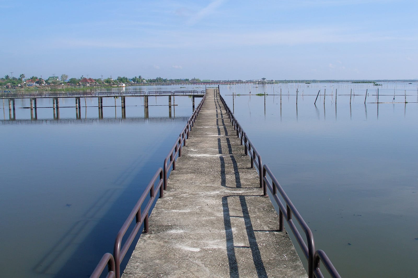
Ekkachai Bridge (80th Anniversary Bridge)
The longest bridge in Thailand, crossing Thale Noi to link Phatthalung with Ranot in Songkhla. Drive across for views of the lotus fields and water buffalo on either side; it's just past Thale Noi heading toward Ranot.
Khao Pu–Khao Ya National Park
Forested hills to the north-west, with waterfalls and walking trails and cool, fresh air. From town the route runs along Highway 41 to the Pho Thong intersection, then branches onto Highway 4164 for a short climb up into the hills.
Wat Khian Bang Kaeo (Khao Chaison district)
An ancient temple with an old chedi, one of Phatthalung's landmarks, to the south of the province — a good add-on for a merit-and-history outing. It branches off Highway 4081.
Phraiwan Waterfall (Kong Ra district)
A large waterfall in the forest of the Banthat mountain range on the western side, where you can swim and there are spots to relax. Drive out to the west of the province; the final stretch climbs up into the hills.
Plan your route to save fuel
The lakeside sights — Pak Pra, Thale Noi and the Ekkachai Bridge — all lie north along the same line, so you can do them in a single day: head out before dawn to catch the morning light at Pak Pra or Thale Noi first, then carry on up onto the Ekkachai Bridge. Khao Pu–Khao Ya is to the west in the other direction, so keep it for a separate day. Lampam Beach is close to town, so you can easily save it for an evening meal to round off the day — it all saves time and fuel compared with driving back and forth.
Distances to neighbouring provinces — Hat Yai, Trang, Nakhon Si Thammarat
Phatthalung sits ringed by the tourist provinces of the lower south, so it's easy to string two or three of them into one trip. Here are the rough distances from the town of Phatthalung to the provinces people ask about most, measured from the centre of town and rounded off so you can gauge travel time.
- Phatthalung → Trang — About 57–60 km, around 1 hour's drive over the Banthat mountains; it's the closest province and an easy add-on for a Trang food trip.
- Phatthalung → Hat Yai (Songkhla) — About 95–100 km, around 1.5 hours' drive along Highway 4; good for folding Hat Yai and Songkhla into the same trip, or carrying on to Hat Yai Airport.
- Phatthalung → Songkhla (old town) — About 110–120 km, around 1.5–2 hours' drive; reach it from Hat Yai or along the lakeside via Ranot.
- Phatthalung → Nakhon Si Thammarat — About 105–115 km, around 1.5–2 hours' drive north on Highway 41; good for a merit trip to the great chedi at Wat Phra Mahathat Nakhon Si Thammarat.
- Phatthalung → Satun — About 130–140 km, around 2 hours' drive, out via Trang and then south; good if you're planning to carry on to the Andaman coast.
Which option should you pick?
Comfort, straight into town
A southern-line sleeper train from Bangkok — a long overnight sleep, waking up just as you reach Phatthalung station in the centre of town, ready to walk straight to your hotel.
Speed
Fly into Trang or Hat Yai and rent a car right at the airport, then drive into Phatthalung in about 1–1.5 hours — the biggest time-saver.
Easy exploring
Arrive however you like, but rent a car and drive yourself around the province — that way you can do Thale Noi, Khao Pu–Khao Ya and Lampam Beach all in one trip, with no waiting around for transport.
Ready to plan your Phatthalung trip? Check out the city guide and where to stay next.
See the Phatthalung travel guide →