🔄 Updated 21 Jun 2026
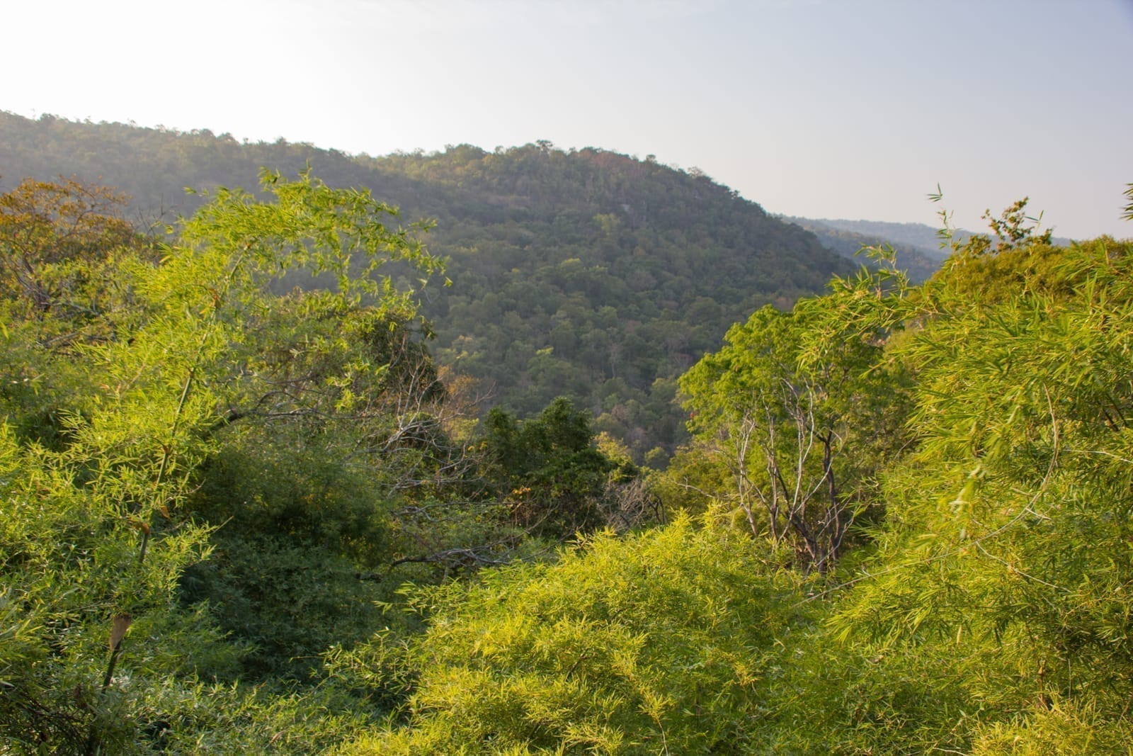
The full name is Phu Pha Thoep National Park, the 59th national park gazetted in Thailand, covering the eastern flank of the Phu Phan range. It was once simply called Mukdahan, since it sits in Mueang Mukdahan district. What pulls the crowds in is a group of rocks formed from layers of sandstone and siltstone that erode easily — after long exposure to wind and rain, only strange-shaped pillars remain. Many balance in ways that look impossible, so people have given them nicknames based on their shapes: crocodile rock, crown rock, Chinese-pavilion rock and the flying-saucer rock.
What there is to see at Phu Pha Thoep
The main sights are clustered close together and can be done on a single visit. If it's your first time, we suggest following this order.
The rock-formation plateau
The star of the park — a field of oddly shaped sandstone rocks carved by nature itself. Some balance on tiny bases, and people love photographing the angles where the rocks look like they're floating. You can walk the whole plateau.
Pha Ut
A huge rock shaped like a resting camel, sitting on the western cliff edge. It's the best viewpoint and sunset spot in the park, and in the late afternoon people gather here to wait for the light.
Mujalin field
A wide rock field about 1.2 km long. From late rainy season into early winter it fills with small wildflowers such as Dusita, Soi Suwanna and the sundew (yaad namkang).
Red Handprint cave
A rock shelter with red handprints left by prehistoric people — an archaeological trace that means this place isn't just about pretty rocks.
Want more out of Mukdahan? Book tours & activities
Booking online ahead on Klook or GetYourGuide is usually cheaper than the gate and skips the queue. Pick only the experiences you actually want — prices and availability are shown live on each site.
Trails — how to walk it all
The trails at Phu Pha Thoep are nature-study paths, mostly running across the rock plateau and over flat dirt — nothing very steep, manageable for kids and adults alike. Total distance depends on how many points you reach, but it works out to roughly 3–6 km if you walk every spot.
- Rock-formation loop (short) — from the car park it's only a few hundred metres into the rock field. Good if you're short on time or have small children, about 30–45 minutes of walking and viewing.
- Rock field to Pha Ut (medium) — continue from the plateau toward Pha Ut, passing rock groves and viewpoints. This is the most popular route, an easy 1–2 hours including photo stops.
- Mujalin field (long) — for those who want a longer walk and come during the wildflower season. It's farther and the sun is strong, so allow extra time and bring drinking water.
- Detour to the Red Handprint cave — branches off the main path; a little extra walking to see the ancient painted handprints.
How to walk it without wearing yourself out
The rock plateau radiates a lot of heat in the middle of the day. If you'd rather skip the harsh sun, come in the morning before 10am, or come in the late afternoon and stretch it out to finish at Pha Ut for sunset — that way you get both the rocks and the soft evening light in one go. Carry water and wear sneakers or shoes that grip rock well.
Watching the sunset at Pha Ut
If you had to pick one spot you must reach, it's Pha Ut — a giant camel-shaped rock perched on the western cliff edge, looking out over far-reaching ranges and the plains below. In the evening the sunlight slowly turns golden-orange, the rock silhouette set against the sky, and it's a scene photographers love to capture. Locals often come to wait for the light from around 4:30pm.
- Golden hour — roughly 5:00–6:30pm depending on the season. Aim to reach the spot at least 30 minutes before the light drops, so you can find your angle and shoot the rocks on the way in.
- Mind the walk back — the sky darkens fast after sunset and the rock-plateau path has no lighting. Bring a torch or use your phone light to walk back.
- Allow time to leave the park — the park has a closing time. Check with the staff at the gate beforehand to confirm how late you can stay for the sunset that evening.
Entry fees and opening hours
Entry to Phu Pha Thoep follows the standard national-park rates — very cheap for what you get to see. The figures below are the latest we could find, but the parks department adjusts them from time to time, so check again at the gate when you go.
- Entry, adult — about 20 THB (Thai nationals)
- Vehicle — about 30 THB per car
- Opening hours — open daily during the day, generally around 6:00am–6:00pm, but ask staff about staying for the sunset
- Campground available — if you want to stay overnight for stargazing and the morning light, you can arrange camping with the park
Contacting the park
The park office is at Ban Khon Sai, Na Si Nuan subdistrict, Mueang district, Mukdahan. You can call ahead on 082 107 8097, especially if you want to camp overnight or are coming as a group.
Getting to Phu Pha Thoep
The park is about 17 km from downtown Mukdahan, roughly a 25–30 minute drive from town. The road up is paved the whole way and a regular sedan handles it easily. There's no scheduled public transport here, so it suits people with their own car, a rental, or a chartered van or motorbike taxi from town.
- Own car / rental — set your GPS for Phu Pha Thoep National Park; there's parking at the trailhead.
- Charter a ride from town — with no car of your own, you can arrange a taxi or charter a van for the round trip, with the price worked out by group size.
- Pair it with other sights — this route passes near several temples and city viewpoints, so a half-day trip slots in easily.
Sample plans for Phu Pha Thoep
Half-day morning, rocks first to beat the heat
Late afternoon, stretch it out to sunset
Best time of year to go
Phu Pha Thoep is visitable year-round, and each season feels different. If we had to pick, we like late rainy season into early winter best — the weather is just right and the wildflowers are a bonus.
- October–December — the best stretch: cool, comfortable weather, and the Mujalin field fills with small wildflowers, lovely for an easy walk.
- January–February — still pleasantly cool with clear skies, great for photos and the sunset.
- March–May — very hot, with the rock plateau radiating fierce heat. If you go now, avoid the middle of the day at all costs.
- June–September — rainy season; the greenery is lush but the rocks get slippery, so walk carefully and check the forecast before you go.
The honest heads-up before you go
- The sun is genuinely strong and it gets hot — the rock plateau has no shade, and plenty of reviews complain about the heat. Going midday in hot season is tiring; mornings or evenings are far more fun.
- No public transport — you'll need your own car, a rental or a chartered ride. Sort out transport before you go.
- Limited shops inside the park — bring your own water and snacks, especially if you plan to walk the long route.
- It gets dark fast on the way out — if you stay for the sunset, bring a torch and check the park's closing time with staff first.
Plan a full Mukdahan trip — see more places to stay and things to do
See the Mukdahan travel guide →